
Topografische kaart San Rafael
Interactieve kaart
Klik op de kaart om de hoogte weer te geven.
Over deze kaart
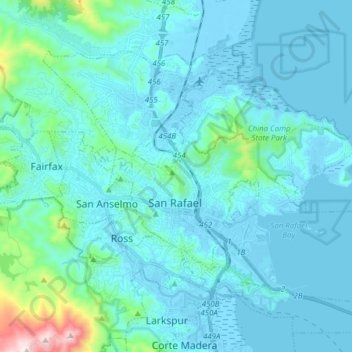
Naam: Topografische kaart San Rafael, hoogte, reliëf.
Locatie: San Rafael, Marin County, Californië, Verenigde Staten (37.93885 -122.58972 38.02910 -122.43542)
Gemiddelde hoogte: 79 m
Minimale hoogte: -4 m
Maximale hoogte: 778 m