
Topografische kaart Russisch Laagland
Interactieve kaart
Klik op de kaart om de hoogte weer te geven.
Russisch Laagland
Dit laagland toont op enkele plaatsen wel enig reliëf (van zeespiegel tot 347 m bij de Waldajhoogte). Het land wordt door vele brede rivieren doorsneden waardoor dalen zijn ontstaan.
Over deze kaart
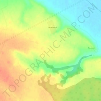
Naam: Topografische kaart Russisch Laagland, hoogte, reliëf.
Gemiddelde hoogte: 115 m
Minimale hoogte: 88 m
Maximale hoogte: 136 m