
Topografische kaart Versailles
Interactieve kaart
Klik op de kaart om de hoogte weer te geven.
Over deze kaart
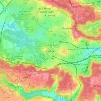
Naam: Topografische kaart Versailles, hoogte, reliëf.
Gemiddelde hoogte: 142 m
Minimale hoogte: 99 m
Maximale hoogte: 185 m
Andere topografische kaarten
Klik op een kaart om zijn topografie, zijn hoogte en zijn reliëf te bekijken.
Le Marais de Bardelle
Frankrijk > Île-de-France > Yvelines > Vicq > La Bardelle
Gemiddelde hoogte: 88 m