
Topografische kaart Röthenspitz - Punta Rossa
Interactieve kaart
Klik op de kaart om de hoogte weer te geven.
Over deze kaart
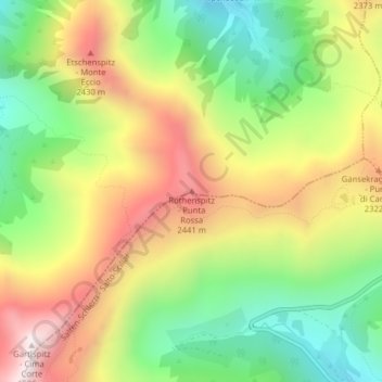
Naam: Topografische kaart Röthenspitz - Punta Rossa, hoogte, reliëf.
Gemiddelde hoogte: 2.092 m
Minimale hoogte: 1.686 m
Maximale hoogte: 2.575 m