
Topografische kaart La Solana
Interactieve kaart
Klik op de kaart om de hoogte weer te geven.
Over deze kaart
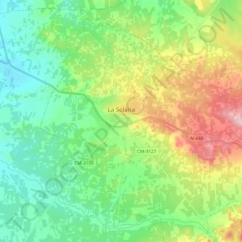
Naam: Topografische kaart La Solana, hoogte, reliëf.
Locatie: La Solana, La Mancha, Ciudad Real, Castilla-La Mancha, España (38.87042 -3.29620 38.99962 -3.11808)
Gemiddelde hoogte: 736 m
Minimale hoogte: 672 m
Maximale hoogte: 869 m