
Topografische kaart Grand Junction
Interactieve kaart
Klik op de kaart om de hoogte weer te geven.
Over deze kaart
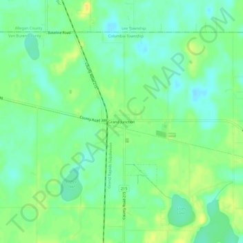
Naam: Topografische kaart Grand Junction, hoogte, reliëf.
Locatie: Grand Junction, Van Buren County, Michigan, 49056, USA (42.38420 -86.09308 42.42420 -86.05308)
Gemiddelde hoogte: 206 m
Minimale hoogte: 195 m
Maximale hoogte: 220 m