
Topografische kaart Barari
Interactieve kaart
Klik op de kaart om de hoogte weer te geven.
Over deze kaart
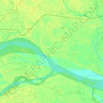
Naam: Topografische kaart Barari, hoogte, reliëf.
Locatie: Barari, Katihar, Bihar, India (25.35981 87.32208 25.54689 87.56262)
Gemiddelde hoogte: 30 m
Minimale hoogte: 22 m
Maximale hoogte: 37 m
Andere topografische kaarten
Klik op een kaart om zijn topografie, zijn hoogte en zijn reliëf te bekijken.
Gaya
India > Bihar > Gaya Town C.D.Block
Gaya, Gaya Town C.D.Block, Gaya, Bihar, 823001, India
Gemiddelde hoogte: 111 m
Bagmati River
Bagmati River, Sītāmarhi, Sitamarhi, Bihar, 843321, India
Gemiddelde hoogte: 422 m