
Topografische kaart Municipio Curahuara de Carangas
Interactieve kaart
Klik op de kaart om de hoogte weer te geven.
Over deze kaart
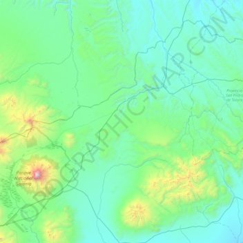
Naam: Topografische kaart Municipio Curahuara de Carangas, hoogte, reliëf.
Gemiddelde hoogte: 4.130 m
Minimale hoogte: 3.781 m
Maximale hoogte: 6.514 m