
Topografische kaart Saint-Sulpice-la-Pointe
Interactieve kaart
Klik op de kaart om de hoogte weer te geven.
Over deze kaart
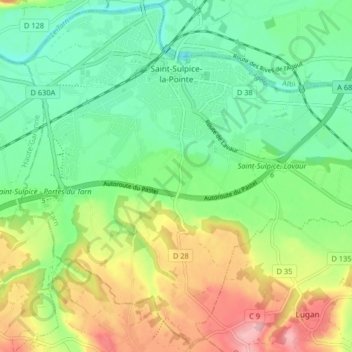
Naam: Topografische kaart Saint-Sulpice-la-Pointe, hoogte, reliëf.
Gemiddelde hoogte: 138 m
Minimale hoogte: 88 m
Maximale hoogte: 222 m