
Topografische kaart Kejimkujik National Park and National Historic Site of Canada (Seaside Adjunct)
Interactieve kaart
Klik op de kaart om de hoogte weer te geven.
Over deze kaart
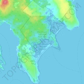
Naam: Topografische kaart Kejimkujik National Park and National Historic Site of Canada (Seaside Adjunct), hoogte, reliëf.
Gemiddelde hoogte: 9 m
Minimale hoogte: -5 m
Maximale hoogte: 72 m