
Topografische kaart Applewood
Interactieve kaart
Klik op de kaart om de hoogte weer te geven.
Over deze kaart
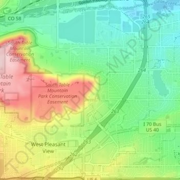
Naam: Topografische kaart Applewood, hoogte, reliëf.
Locatie: Applewood, Jefferson County, Colorado, United States (39.72517 -105.19380 39.77467 -105.13273)
Gemiddelde hoogte: 1.738 m
Minimale hoogte: 1.648 m
Maximale hoogte: 1.898 m