Topografische kaart Alworth
Interactieve kaart
Klik op de kaart om de hoogte weer te geven.
Over deze kaart
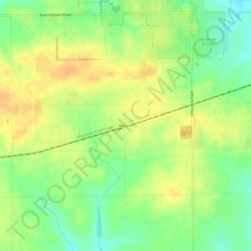
Naam: Topografische kaart Alworth, hoogte, reliëf.
Gemiddelde hoogte: 271 m
Minimale hoogte: 253 m
Maximale hoogte: 286 m

Klik op de kaart om de hoogte weer te geven.
Naam: Topografische kaart Alworth, hoogte, reliëf.
Gemiddelde hoogte: 271 m
Minimale hoogte: 253 m
Maximale hoogte: 286 m