
Topografische kaart Decatur
Interactieve kaart
Klik op de kaart om de hoogte weer te geven.
Over deze kaart
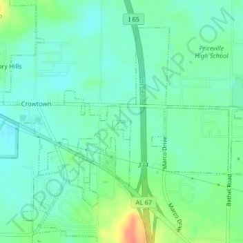
Naam: Topografische kaart Decatur, hoogte, reliëf.
Locatie: Decatur, DeKalb County, Georgia, United States of America (34.54241 -86.90956 34.54264 -86.90855)
Gemiddelde hoogte: 591 m
Minimale hoogte: 488 m
Maximale hoogte: 754 m