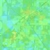
Topografische kaart Gainesville
Klik op de kaart om de hoogte weer te geven.
Gainesville
Gainesville is situated in a region characterized by gently rolling hills and a mix of flatlands, typical of north-central Florida's terrain. The elevation ranges from approximately 50 to 200 feet above sea level, providing a scenic landscape dotted with lush vegetation and various waterways, including the nearby Santa Fe River. The area features a variety of ecosystems, from hardwood forests to wetlands, contributing to its rich biodiversity. Additionally, Gainesville is interspersed with several parks and nature reserves, which enhance its topographical diversity and offer residents and visitors opportunities for outdoor recreation. The combination of elevated areas and low-lying regions creates a unique and inviting environment that supports both urban and natural landscapes.
Over deze kaart
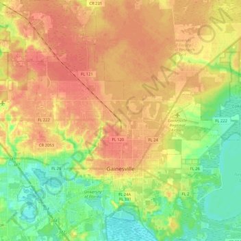
Naam: Topografische kaart Gainesville, hoogte, reliëf.
Locatie: Gainesville, Alachua County, Florida, United States (29.59786 -82.42225 29.77837 -82.22238)
Gemiddelde hoogte: 42 m
Minimale hoogte: 16 m
Maximale hoogte: 63 m
Andere topografische kaarten
Klik op een kaart om zijn topografie, zijn hoogte en zijn reliëf te bekijken.