
Topografische kaart Distrito Ciudad de Tupungato
Interactieve kaart
Klik op de kaart om de hoogte weer te geven.
Over deze kaart
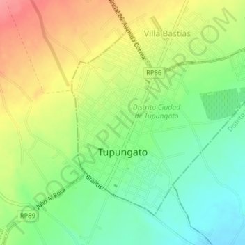
Naam: Topografische kaart Distrito Ciudad de Tupungato, hoogte, reliëf.
Gemiddelde hoogte: 1.078 m
Minimale hoogte: 1.040 m
Maximale hoogte: 1.124 m