
Topografische kaart Langford Bay Estates
Interactieve kaart
Klik op de kaart om de hoogte weer te geven.
Over deze kaart
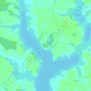
Naam: Topografische kaart Langford Bay Estates, hoogte, reliëf.
Locatie: Langford Bay Estates, Kent County, Maryland, United States (39.11400 -76.18773 39.15400 -76.14773)
Gemiddelde hoogte: 4 m
Minimale hoogte: -1 m
Maximale hoogte: 12 m
Andere topografische kaarten
Klik op een kaart om zijn topografie, zijn hoogte en zijn reliëf te bekijken.
Golts
United States > Maryland > Kent County
Golts, Kent County, Maryland, United States
Gemiddelde hoogte: 22 m
Still Pond
United States > Maryland > Kent County
Still Pond, Kent County, Maryland, 21667, United States
Gemiddelde hoogte: 21 m