Geolokaliseren

Topografische kaart Ballantrae

Interactieve kaart

Klik op de kaart om de hoogte weer te geven.

Over deze kaart

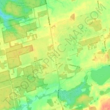
Naam: Topografische kaart Ballantrae, hoogte, reliëf.

Locatie: Ballantrae, Whitchurch-Stouffville, York Region, Golden Horseshoe, Ontario, L4A 7X4, Canada (44.01787 -79.31724 44.05787 -79.27724)

Gemiddelde hoogte: 335 m

Minimale hoogte: 309 m

Maximale hoogte: 355 m

Andere topografische kaarten

Klik op een kaart om zijn topografie, zijn hoogte en zijn reliëf te bekijken.

Bloomington

Canada > Ontario > York Region > Whitchurch-Stouffville

Bloomington, Whitchurch-Stouffville, York Region, Ontario, L4A 3C8, Canada

Gemiddelde hoogte: 323 m

Whitchurch-Stouffville Community Park, Vandorf

Canada > Ontario > York Region > Whitchurch-Stouffville

Whitchurch-Stouffville Community Park, Vandorf, Vandorf, Whitchurch-Stouffville, East Gwillimbury, York Region, Golden Horseshoe, Ontario, Canada

Gemiddelde hoogte: 305 m