
Topografische kaart Upland
Interactieve kaart
Klik op de kaart om de hoogte weer te geven.
Upland
Upland is a city in San Bernardino County, California, United States. The municipality is located at an elevation of 1,242 feet (379 m). As of the 2010 census, the city had a population of 73,732, up from 68,393 at the 2000 census. It was incorporated on May 15, 1906, after previously being named North Ontario. Upland is located at the foot of the highest part of the San Gabriel Mountains. The Los Angeles suburb is part of the Inland Empire, a metropolitan area situated directly east of the Los Angeles metropolitan area.
Over deze kaart
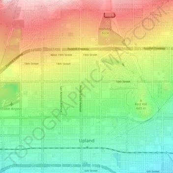
Naam: Topografische kaart Upland, hoogte, reliëf.
Gemiddelde hoogte: 457 m
Minimale hoogte: 324 m
Maximale hoogte: 650 m