
Topografische kaart Grays Subdivision
Interactieve kaart
Klik op de kaart om de hoogte weer te geven.
Over deze kaart
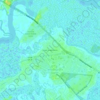
Naam: Topografische kaart Grays Subdivision, hoogte, reliëf.
Locatie: Grays Subdivision, Chatham County, Georgia, 31410, USA (32.02493 -81.03206 32.06493 -80.99206)
Gemiddelde hoogte: 4 m
Minimale hoogte: -2 m
Maximale hoogte: 15 m