
Topografische kaart Berea
Interactieve kaart
Klik op de kaart om de hoogte weer te geven.
Berea
Berea is located on the border of the Cumberland Plateau. The area has a mountainous appearance, but most outcroppings in the area have a maximum elevation of 2,500 feet or 760 metres.
Over deze kaart
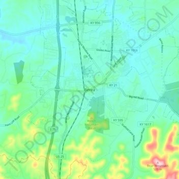
Naam: Topografische kaart Berea, hoogte, reliëf.
Locatie: Berea, Madison County, Kentucky, 40404, United States (37.52869 -84.33632 37.60869 -84.25632)
Gemiddelde hoogte: 314 m
Minimale hoogte: 264 m
Maximale hoogte: 504 m