
Topografische kaart The Municipal District of Borris-in-Ossory — Mountmellick
Interactieve kaart
Klik op de kaart om de hoogte weer te geven.
Over deze kaart
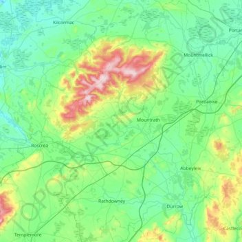
Naam: Topografische kaart The Municipal District of Borris-in-Ossory — Mountmellick, hoogte, reliëf.
Gemiddelde hoogte: 132 m
Minimale hoogte: 38 m
Maximale hoogte: 524 m