
Topografische kaart Ghaziabad
Interactieve kaart
Klik op de kaart om de hoogte weer te geven.
Over deze kaart
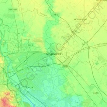
Naam: Topografische kaart Ghaziabad, hoogte, reliëf.
Locatie: Ghaziabad, Uttar Pradesh, 201001, India (28.51115 77.25204 28.83115 77.57204)
Gemiddelde hoogte: 211 m
Minimale hoogte: 192 m
Maximale hoogte: 253 m