
Topografische kaart Cadwell
Interactieve kaart
Klik op de kaart om de hoogte weer te geven.
Over deze kaart
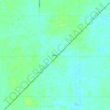
Naam: Topografische kaart Cadwell, hoogte, reliëf.
Locatie: Cadwell, Moultrie County, Illinois, United States (39.66114 -88.54172 39.70114 -88.50172)
Gemiddelde hoogte: 205 m
Minimale hoogte: 200 m
Maximale hoogte: 210 m
Andere topografische kaarten
Klik op een kaart om zijn topografie, zijn hoogte en zijn reliëf te bekijken.
Allenville
United States > Illinois > Moultrie County
Allenville, Moultrie County, Illinois, United States
Gemiddelde hoogte: 197 m
Moultrie County
United States > Illinois > Moultrie County
Moultrie County, Illinois, United States
Gemiddelde hoogte: 204 m