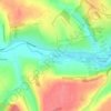
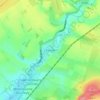
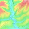
Topografische kaart Warminster
Klik op de kaart om de hoogte weer te geven.
Warminster
Warminster Town Hall, at the junction of the High Street and Weymouth Street, was designed c. 1837 by Edward Blore at the expense of the 5th Marquess of Bath; the two-storey front elevation is a replica of Longleat, with the addition of a central bellcote, clock and coat of arms. The building was sold by the district council in 1979.
Over deze kaart

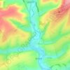
Naam: Topografische kaart Warminster, hoogte, reliëf.
Locatie: Warminster, Wiltshire, England, United Kingdom (51.18948 -2.22830 51.24075 -2.11980)
Gemiddelde hoogte: 143 m
Minimale hoogte: 70 m
Maximale hoogte: 215 m
Andere topografische kaarten
Klik op een kaart om zijn topografie, zijn hoogte en zijn reliëf te bekijken.

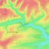








Cley Hill
United Kingdom > England > Wiltshire
Cley Hill (grid reference ST838449) is a prominent hill to the west of Warminster in Wiltshire, England. Its summit has a commanding view of the Wiltshire / Somerset county boundary, at 244 metres (801 ft) elevation. The land is in Corsley parish and is owned by the National Trust.
Gemiddelde hoogte: 157 m