
Topografische kaart City of Gainesville Municipal Boundaries
Interactieve kaart
Klik op de kaart om de hoogte weer te geven.
Over deze kaart
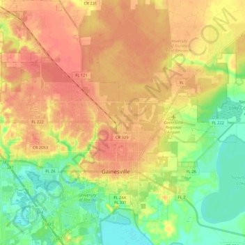
Naam: Topografische kaart City of Gainesville Municipal Boundaries, hoogte, reliëf.
Gemiddelde hoogte: 42 m
Minimale hoogte: 16 m
Maximale hoogte: 63 m