
Topografische kaart Ottawa Hills
Interactieve kaart
Klik op de kaart om de hoogte weer te geven.
Over deze kaart
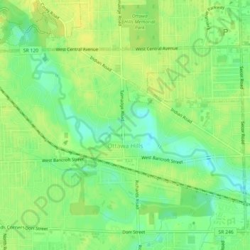
Naam: Topografische kaart Ottawa Hills, hoogte, reliëf.
Locatie: Ottawa Hills, Lucas County, Ohio, United States (41.65670 -83.66643 41.67714 -83.62197)
Gemiddelde hoogte: 192 m
Minimale hoogte: 180 m
Maximale hoogte: 199 m