
Topografische kaart Snowbird Natural Area
Interactieve kaart
Klik op de kaart om de hoogte weer te geven.
Over deze kaart
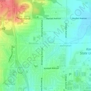
Naam: Topografische kaart Snowbird Natural Area, hoogte, reliëf.
Gemiddelde hoogte: 342 m
Minimale hoogte: 319 m
Maximale hoogte: 396 m