
Topografische kaart Sungai Besut
Interactieve kaart
Klik op de kaart om de hoogte weer te geven.
Over deze kaart
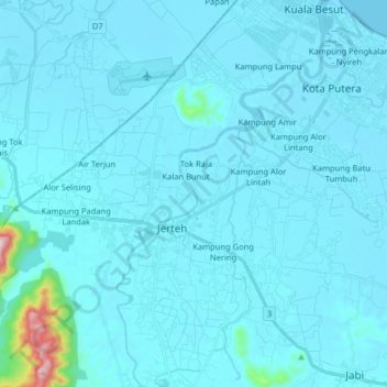
Naam: Topografische kaart Sungai Besut, hoogte, reliëf.
Locatie: Sungai Besut, Kuala Besut, Besut, Terengganu, Malaysia (5.67190 102.47415 5.83210 102.56040)
Gemiddelde hoogte: 27 m
Minimale hoogte: -3 m
Maximale hoogte: 578 m