
Topografische kaart Col de l'Iseran
Interactieve kaart
Klik op de kaart om de hoogte weer te geven.
Col de l'Iseran
On both sides of the Col de l'Iseran, mountain pass cycling milestones mark the distance to the summit, the current altitude, and the average slope in the following kilometre.
Over deze kaart
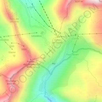
Naam: Topografische kaart Col de l'Iseran, hoogte, reliëf.
Gemiddelde hoogte: 2.779 m
Minimale hoogte: 2.467 m
Maximale hoogte: 3.117 m
Andere topografische kaarten
Klik op een kaart om zijn topografie, zijn hoogte en zijn reliëf te bekijken.