
Topografische kaart Kurichy
Interactieve kaart
Klik op de kaart om de hoogte weer te geven.
Over deze kaart
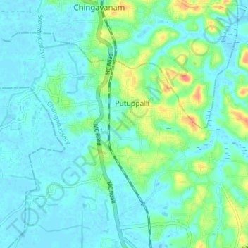
Naam: Topografische kaart Kurichy, hoogte, reliëf.
Locatie: Kurichy, Putuppalli, Changanassery, Kottayam, Kerala, India (9.47103 76.49289 9.51816 76.55753)
Gemiddelde hoogte: 11 m
Minimale hoogte: -2 m
Maximale hoogte: 51 m