
Topografische kaart Vinita
Interactieve kaart
Klik op de kaart om de hoogte weer te geven.
Vinita
Vinita is located in northeastern Oklahoma, a region of the state known as Green Country. According to the Vinita Chamber of Commerce, the town is often called the "Crossroads to Green Country." It sits at the base of the Ozark Highlands topographical region in a mix of prairie and forest. It is located in southern Craig County.
Over deze kaart
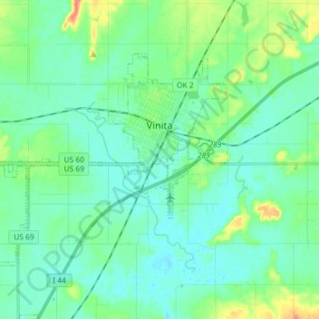
Naam: Topografische kaart Vinita, hoogte, reliëf.
Locatie: Vinita, Craig County, Oklahoma, United States (36.58978 -95.26966 36.66675 -95.12560)
Gemiddelde hoogte: 213 m
Minimale hoogte: 200 m
Maximale hoogte: 259 m