
Topografische kaart Santa Lucia
Interactieve kaart
Klik op de kaart om de hoogte weer te geven.
Over deze kaart
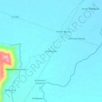
Naam: Topografische kaart Santa Lucia, hoogte, reliëf.
Locatie: Santa Lucia, Cupi, Provincia de Melgar, Puno, Perú (-14.87213 -70.82983 -14.83213 -70.78983)
Gemiddelde hoogte: 3.931 m
Minimale hoogte: 3.918 m
Maximale hoogte: 4.071 m