
Topografische kaart Partyzanske
Interactieve kaart
Klik op de kaart om de hoogte weer te geven.
Partyzanske
Partyzanske is located on Crimea's southern shore at an elevation of 362 metres (1,188 ft). The settlement is located 5 km (3.1 mi) southwest from Hurzuf, which it is administratively subordinate to. Its population was 94 in the 2001 Ukrainian census. Current population: 65 (2014 Census).
Over deze kaart
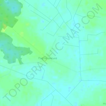
Naam: Topografische kaart Partyzanske, hoogte, reliëf.
Locatie: Partyzanske, Kovel Raion, Volyn Oblast, Ukraine (51.03750 24.96231 51.05175 24.99630)
Gemiddelde hoogte: 183 m
Minimale hoogte: 178 m
Maximale hoogte: 191 m