
Topografische kaart La Lagunilla
Interactieve kaart
Klik op de kaart om de hoogte weer te geven.
Over deze kaart
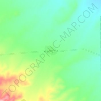
Naam: Topografische kaart La Lagunilla, hoogte, reliëf.
Locatie: La Lagunilla, Cuencamé, Durango, México (24.85842 -103.41993 24.89842 -103.37993)
Gemiddelde hoogte: 1.476 m
Minimale hoogte: 1.432 m
Maximale hoogte: 1.567 m