
Topografische kaart Alangad
Interactieve kaart
Klik op de kaart om de hoogte weer te geven.
Over deze kaart
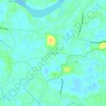
Naam: Topografische kaart Alangad, hoogte, reliëf.
Locatie: Alangad, Paravur, Ernakulam district, Kerala, 683511, India (10.10204 76.28000 10.14204 76.32000)
Gemiddelde hoogte: 6 m
Minimale hoogte: -4 m
Maximale hoogte: 25 m