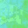
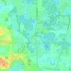
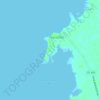
Topografische kaart Weeki Wachee
Klik op de kaart om de hoogte weer te geven.
Weeki Wachee
Weeki Wachee features a unique and diverse topography characterized primarily by its proximity to the Weeki Wachee River and the surrounding Weeki Wachee Preserve. The area sits at a low elevation of about 33 feet above sea level, encompassing approximately 1.05 square miles, with a landscape that blends freshwater springs, wetlands, and sandhill ecosystems. The region's terrain is predominantly flat, interspersed with sandy soils and lush vegetative cover, including hardwood swamps and pine forests. The Weeki Wachee Springs, notable for being one of the deepest natural springs in the United States, contributes to the area's hydrology, feeding into the river and creating a rich habitat for diverse wildlife. This combination of freshwater resources and protected natural areas makes Weeki Wachee a distinctive ecological zone within Florida's coastal environment.
Over deze kaart
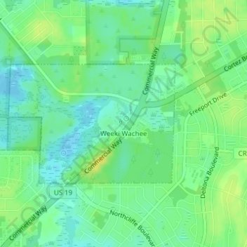
Naam: Topografische kaart Weeki Wachee, hoogte, reliëf.
Locatie: Weeki Wachee, Hernando County, Florida, United States (28.51018 -82.59216 28.52323 -82.56718)
Gemiddelde hoogte: 11 m
Minimale hoogte: 2 m
Maximale hoogte: 22 m
Andere topografische kaarten
Klik op een kaart om zijn topografie, zijn hoogte en zijn reliëf te bekijken.

Spring Lake
United States > Florida > Hernando County
Spring Lake contains rolling hills ranging in elevation from 120ft to 280ft.
Gemiddelde hoogte: 49 m



Spring Lake
United States > Florida > Hernando County > Spring Lake
Spring Lake contains rolling hills ranging in elevation from 120ft to 280ft.
Gemiddelde hoogte: 49 m
Spring Lake
United States > Florida > Hernando County
Spring Lake contains rolling hills ranging in elevation from 120ft to 280ft.
Gemiddelde hoogte: 49 m