
Topografische kaart Carnegie
Interactieve kaart
Klik op de kaart om de hoogte weer te geven.
Over deze kaart
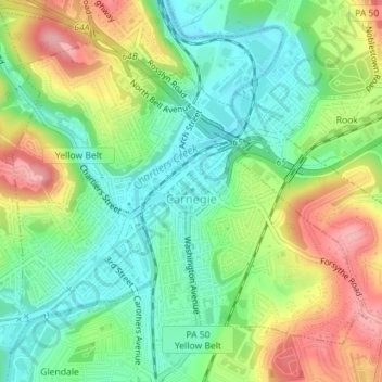
Naam: Topografische kaart Carnegie, hoogte, reliëf.
Gemiddelde hoogte: 275 m
Minimale hoogte: 226 m
Maximale hoogte: 350 m
According to the United States Census Bureau, the borough has a total area of 1.6 square miles (4.1 km2), all of it land. Its average elevation is 833 ft (254 m) above sea level.