
Topografische kaart Cecilia
Interactieve kaart
Klik op de kaart om de hoogte weer te geven.
Over deze kaart
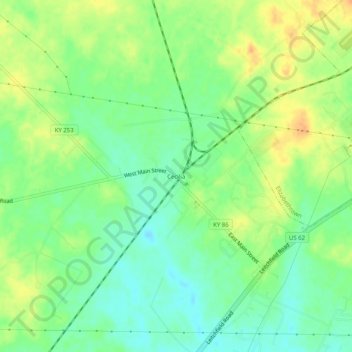
Naam: Topografische kaart Cecilia, hoogte, reliëf.
Locatie: Cecilia, Hardin County, Kentucky, United States of America (37.64590 -85.97663 37.68590 -85.93663)
Gemiddelde hoogte: 221 m
Minimale hoogte: 204 m
Maximale hoogte: 240 m