
Topografische kaart Santa Lucia
Interactieve kaart
Klik op de kaart om de hoogte weer te geven.
Over deze kaart
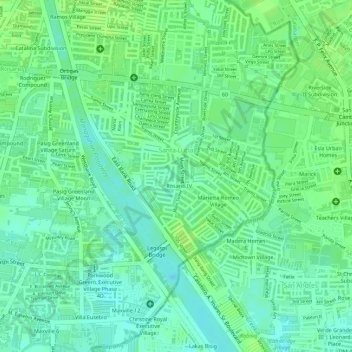
Naam: Topografische kaart Santa Lucia, hoogte, reliëf.
Gemiddelde hoogte: 8 m
Minimale hoogte: -2 m
Maximale hoogte: 12 m
Andere topografische kaarten
Klik op een kaart om zijn topografie, zijn hoogte en zijn reliëf te bekijken.
Pasig River
Pasig River, Makati 2nd District, Pasig, Eastern Manila District, Metro Manila, 1600, Philippines
Gemiddelde hoogte: 21 m
Ugong
Ugong, Pasig, Eastern Manila District, Metro Manila, 1604, Philippines
Gemiddelde hoogte: 22 m
Manggahan
Manggahan, Pasig, Second District, Metro Manila, Philippines
Gemiddelde hoogte: 11 m
Capitol Commons
Capitol Commons, Saint Augustine, Oranbo, Pasig, Metro Manila, 1019, Philippines
Gemiddelde hoogte: 27 m