
Topografische kaart Jamta
Interactieve kaart
Klik op de kaart om de hoogte weer te geven.
Over deze kaart
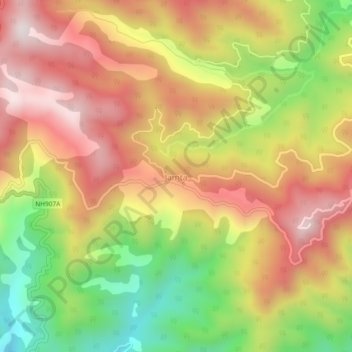
Naam: Topografische kaart Jamta, hoogte, reliëf.
Locatie: Jamta, Nahan, Sirmaur District, Himachal Pradesh, India (30.57967 77.29491 30.61967 77.33491)
Gemiddelde hoogte: 1.086 m
Minimale hoogte: 685 m
Maximale hoogte: 1.420 m