
Topografische kaart Santo Tomas
Interactieve kaart
Klik op de kaart om de hoogte weer te geven.
Over deze kaart
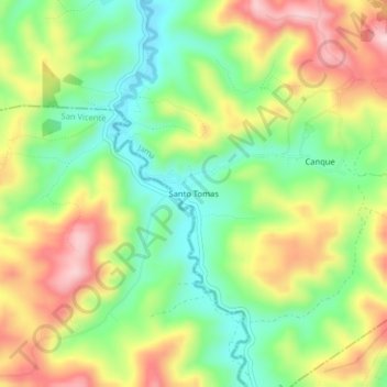
Naam: Topografische kaart Santo Tomas, hoogte, reliëf.
Locatie: Santo Tomas, Jama, Manabí, Ecuador (-0.36336 -80.33635 -0.32336 -80.29635)
Gemiddelde hoogte: 184 m
Minimale hoogte: 69 m
Maximale hoogte: 332 m