
Topografische kaart Mount Garland
Interactieve kaart
Klik op de kaart om de hoogte weer te geven.
Over deze kaart
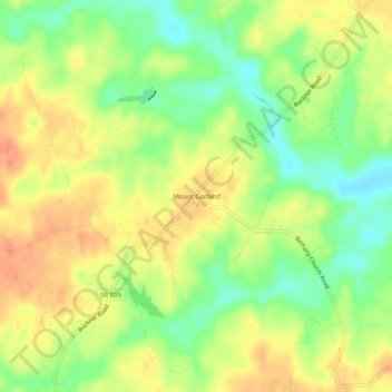
Naam: Topografische kaart Mount Garland, hoogte, reliëf.
Locatie: Mount Garland, Louisa County, Virginia, United States (37.91570 -77.83194 37.95570 -77.79194)
Gemiddelde hoogte: 89 m
Minimale hoogte: 64 m
Maximale hoogte: 110 m