
Topografische kaart Kampung Balai
Interactieve kaart
Klik op de kaart om de hoogte weer te geven.
Over deze kaart
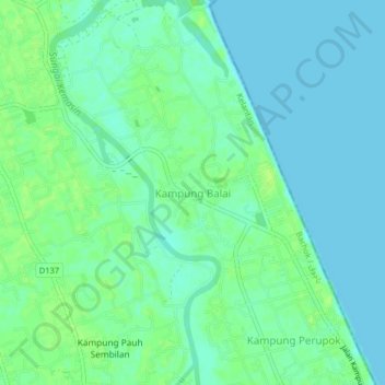
Naam: Topografische kaart Kampung Balai, hoogte, reliëf.
Locatie: Kampung Balai, Bachok, Kelantan, 16050, Malaysia (6.08657 102.35240 6.12657 102.39240)
Gemiddelde hoogte: 5 m
Minimale hoogte: 0 m
Maximale hoogte: 11 m