
Topografische kaart Nazareth
Interactieve kaart
Klik op de kaart om de hoogte weer te geven.
Over deze kaart
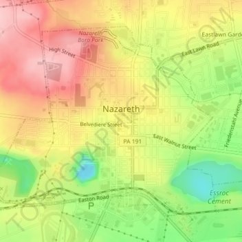
Naam: Topografische kaart Nazareth, hoogte, reliëf.
Locatie: Nazareth, Northampton County, Pennsylvania, United States (40.73036 -75.33071 40.75154 -75.29733)
Gemiddelde hoogte: 149 m
Minimale hoogte: 56 m
Maximale hoogte: 224 m
Nazareth's climate is similar to the rest of the Lehigh Valley, with four distinct seasons, humid summers, cold winters, and very short and mild springs and falls. This climate is hot-summer humid continental (Dfa) and average monthly temperatures range from 28.1 °F (−2.2 °C) in January to 73.4 °F (23.0 °C) in July. The hardiness zone is 6b. Nazareth's topography can best be described as hilly, as the town itself sits atop a local outcropping underground of one of the richest veins of limestone in the U.S. Much of the farmland surrounding Nazareth is being converted into close sitting lots of suburban housing, for predominantly commuter households.