
Topografische kaart Mount Hope
Interactieve kaart
Klik op de kaart om de hoogte weer te geven.
Over deze kaart
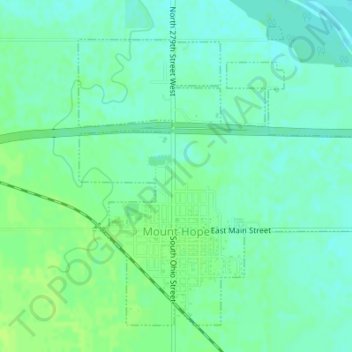
Naam: Topografische kaart Mount Hope, hoogte, reliëf.
Locatie: Mount Hope, Sedgwick County, Kansas, United States (37.86137 -97.67459 37.88433 -97.64241)
Gemiddelde hoogte: 439 m
Minimale hoogte: 433 m
Maximale hoogte: 445 m
Andere topografische kaarten
Klik op een kaart om zijn topografie, zijn hoogte en zijn reliëf te bekijken.
Bentley
United States > Kansas > Sedgwick County
Bentley, Sedgwick County, Kansas, United States
Gemiddelde hoogte: 424 m
Goddard
United States > Kansas > Sedgwick County > Goddard
Goddard, Sedgwick County, Kansas, United States
Gemiddelde hoogte: 443 m
Sedgwick County
United States > Kansas > Sedgwick County
Sedgwick County, Kansas, United States
Gemiddelde hoogte: 418 m
Wichita
United States > Kansas > Sedgwick County
Wichita, Sedgwick County, Kansas, United States
Gemiddelde hoogte: 408 m