
Topografische kaart Makhado Local Municipality
Interactieve kaart
Klik op de kaart om de hoogte weer te geven.
Over deze kaart
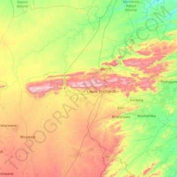
Naam: Topografische kaart Makhado Local Municipality, hoogte, reliëf.
Locatie: Makhado Local Municipality, Limpopo, RSA (-23.43741 29.16697 -22.59961 30.56357)
Gemiddelde hoogte: 846 m
Minimale hoogte: 412 m
Maximale hoogte: 1.743 m