
Topografische kaart Mina Lake Recreation Area
Interactieve kaart
Klik op de kaart om de hoogte weer te geven.
Over deze kaart
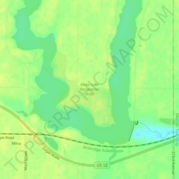
Naam: Topografische kaart Mina Lake Recreation Area, hoogte, reliëf.
Gemiddelde hoogte: 435 m
Minimale hoogte: 422 m
Maximale hoogte: 444 m