
Topografische kaart Apple Hill
Interactieve kaart
Klik op de kaart om de hoogte weer te geven.
Over deze kaart
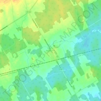
Naam: Topografische kaart Apple Hill, hoogte, reliëf.
Gemiddelde hoogte: 90 m
Minimale hoogte: 77 m
Maximale hoogte: 108 m
Andere topografische kaarten
Klik op een kaart om zijn topografie, zijn hoogte en zijn reliëf te bekijken.
Dalkeith
Canada > Ontario > Stormont, Dundas and Glengarry Counties > North Glengarry
Dalkeith, North Glengarry, Stormont, Dundas and Glengarry Counties, Eastern Ontario, Ontario, Canada
Gemiddelde hoogte: 70 m
Dunvegan
Canada > Ontario > Stormont, Dundas and Glengarry Counties > North Glengarry
Dunvegan, North Glengarry, Stormont, Dundas and Glengarry Counties, Eastern Ontario, Ontario, Canada
Gemiddelde hoogte: 87 m
Maxville
Canada > Ontario > Stormont, Dundas and Glengarry Counties > North Glengarry
Maxville, North Glengarry, Stormont, Dundas and Glengarry Counties, Eastern Ontario, Ontario, K0C 1T0, Canada
Gemiddelde hoogte: 100 m
Alexandria
Canada > Ontario > Stormont, Dundas and Glengarry Counties > North Glengarry
Alexandria, North Glengarry, Stormont, Dundas and Glengarry Counties, Eastern Ontario, Ontario, K0C 1A0, Canada
Gemiddelde hoogte: 84 m