
Topografische kaart Cle Elum
Interactieve kaart
Klik op de kaart om de hoogte weer te geven.
Cle Elum
Cle Elum has a humid continental climate, Köppen subtype Dsb. The elevation is 1909 feet and temperatures are cooler than areas to the west. The coldest month is December, a trait common in the Pacific Northwest. But hot temperatures still occur, and not just in summer: on March 18, 1968, the temperature soared to 95 °F.
Over deze kaart
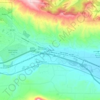
Naam: Topografische kaart Cle Elum, hoogte, reliëf.
Gemiddelde hoogte: 697 m
Minimale hoogte: 561 m
Maximale hoogte: 1.066 m