
Topografische kaart Cedar Bay
Interactieve kaart
Klik op de kaart om de hoogte weer te geven.
Over deze kaart
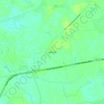
Naam: Topografische kaart Cedar Bay, hoogte, reliëf.
Locatie: Cedar Bay, Brunswick County, North Carolina, 28467, USA (33.92573 -78.56834 33.96573 -78.52834)
Gemiddelde hoogte: 10 m
Minimale hoogte: 3 m
Maximale hoogte: 15 m